Out-of-Print Publications
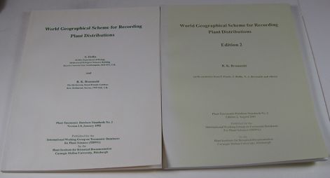
World Geographical Scheme for Recording Plant Distributions, ed. 1 and ed. 2. (Out of Print)
First edition: By S. Hollis and R. K. Brummitt. 1992. ix, 104 pp.; 16 maps; 8 1/2 x 11". Stiff paper cover. ISBN 0-913196-56-8. Second edition: R. K. Brummitt with assistance from F. Pando, S. Hollis, N. A. Brummitt and others. 2001. xv, 137 pp.; 17 maps; 8 1/2 x 11"; 1 lb. Stiff paper cover. ISBN 0-913196-72-X. Plant Taxonomic Database Standards no. 2.
The Plant Taxonomic Database Standards series presents standards for formatting botanical data, prepared by the International Working Group on Taxonomic Databases for Plant Sciences (TDWG) to promote wider and more effective collaboration, dissemination and exchange of information among plant taxonomic databases. This second standard in the series created a scheme that met the need for a standard yet adaptable system of geographical units for use in recording plant distributions and arranging specimens. Because a purely political arrangement could not meet all the needs of botanists, the scheme's arrangement compromised between a politically and a phytogeographically oriented system. It identified geographic units worldwide in a four-level hierarchy, incorporating continents, regions, provinces and countries. Each geographical unit at each level had its own numeric or alphanumeric code. The scheme was presented in five tables, the recognized geographical units were shown in 17 maps, and a gazetteer related over 2,100 names to the overall system.
The second edition came some nine years after the first and inevitably included some changes. Although the need for stability was a major consideration, political realignments forced new concepts. Some of these necessitated changes at national level, such as the segregation of Eritrea from Ethiopia and division of Czechoslovakia into Czech Republic and Slovakia. Others were due to the recognition of new administrative units within larger countries, such as Nunavut in Canada, Uttaranchal in India and Chongqing in China. A few changes also were made in order to make better phytogeographical sense, such as the separation of all Himalayan states from the main body of India and the uniting of New Guinea and the Solomons to form Papuasia. Others were merely a matter of nomenclature brought about by political name changes. All innovations in the second edition were tabulated to assist database managers in adapting to the new edition. Information from this publication is available in different formats at the following URLs (http://www.nhm.ac.uk/hosted_sites/tdwg/geo2.htm and http://www.kew.org/science-research-data/kew-in-depth/gis/resources-and-publications/data/tdwg/index.htm).